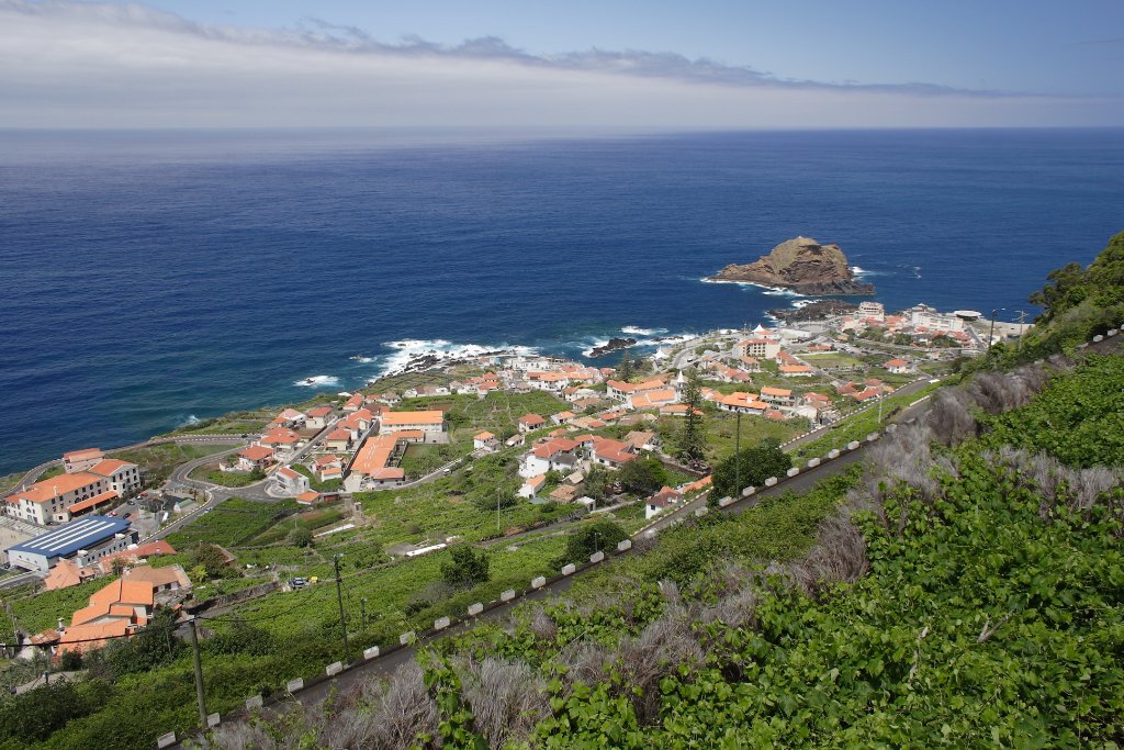
Up Ron & Marjolijn's holiday pictures » 2008-05 Madeira Prev Next Slideshow

 Previous image  Next image  Index page  Original Image [23-View of the town.jpg - 1.0MB]
11-The dry river of Ribeira Brava
12-On the road to Encumeada
13-On the road to Encumeada
14-On the road to Encumeada
15-On the road to Encumeada
16-The levada de Folhadal
17-The levada de Folhadal
18-The levada de Folhadal
19-The levada de Folhadal
20-Road to Paul da Serra
21-In the distance the Pico Ruivo
22-Marjolijn likes the view
  23-View of the town.jpg - View of the town  
24-The swimming pool
25-Very steep coast
26-Machico
27-Road to Pico do Arieiro
28-Road to Pico do Arieiro
29-On the top
30-On the top
31-Path to the Pico Ruivo
32-Path to the Pico Ruivo
33-Seaview
34-Beach
35-The track to the Pico Ruivo

View of the town Download Original Image
Latitude: N 32°51'45,00" | Longitude: W 17°10'32,00" | Altitude: 238 metres | City: Porto Moniz | State/Province: Madeira | Country: Portugal | Copyright: Ron Harkink | See map
Total images: 62 | Help